DJI Accessories
D-RTK 2 Mobile Station
Durable high-precision GNSS mobile station supporting major satellite systems and centimeter-level drone positioning.

Capability Snapshot
Accuracy
Centimeter-level
Supports precise positioning for compatible DJI platforms.
GNSS
Multi-system
Supports major global satellite navigation systems.
Deployment
Mobile station
Field-ready station for mapping, survey, and positioning workflows.
Role
CORS capable
Can be used in correction workflows where supported.
Key Capabilities
High-precision GNSS mobile station for DJI workflows
Centimeter-level positioning for compatible aircraft
Supports major global satellite navigation systems
Useful for repeatable survey, mapping, and inspection routes
Durable field station for professional operations
Typical Applications
Planning Notes
- Confirm compatibility with the aircraft and controller in use
- Plan coordinate system, correction source, and station setup before field work
- Review DJI documentation for current configuration guidance
- Use qualified survey practices where accuracy is part of the deliverable
Related Products
More DJI Accessories
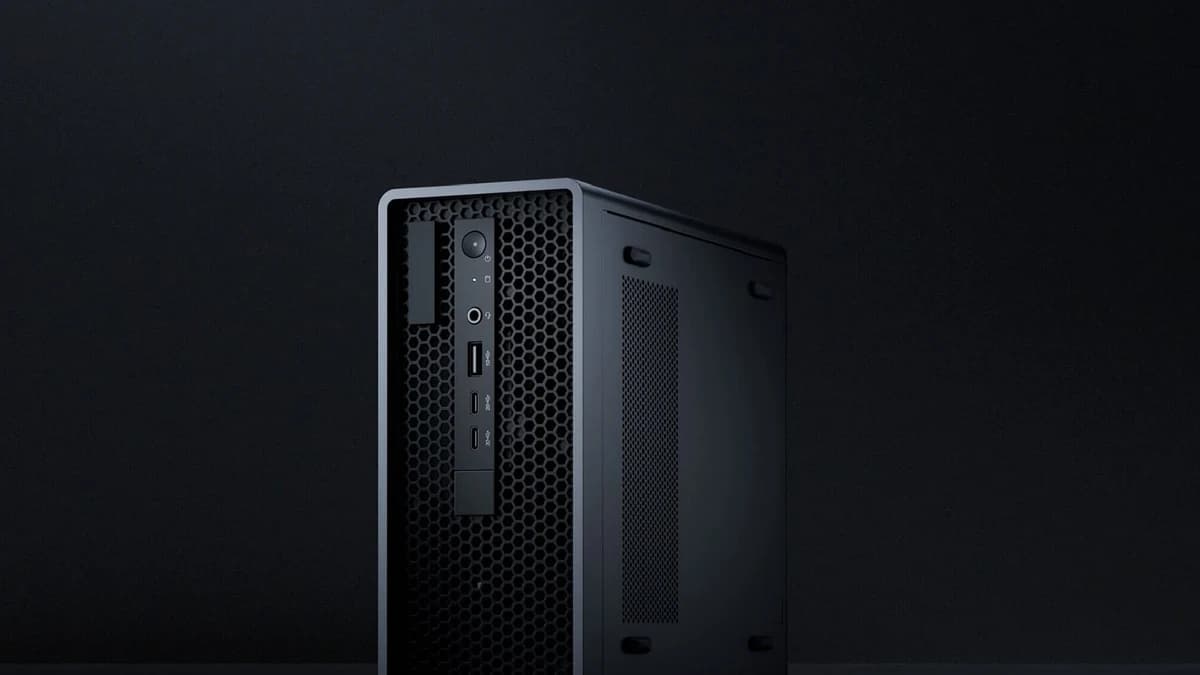
DJI FlightHub 2 AIO
All-in-one FlightHub 2 deployment device combining hardware and software for local, controlled drone management operations.
View details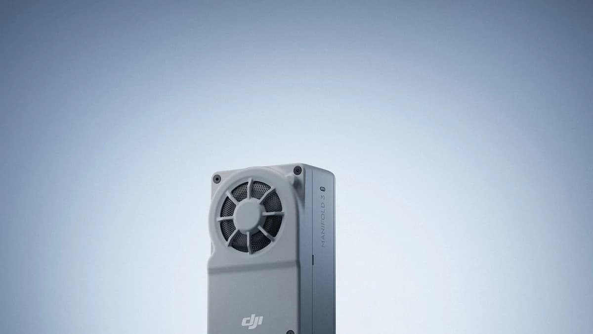
Manifold 3
Compact onboard computing platform with 100 TOPS processing power for advanced DJI enterprise applications and edge workflows.
View details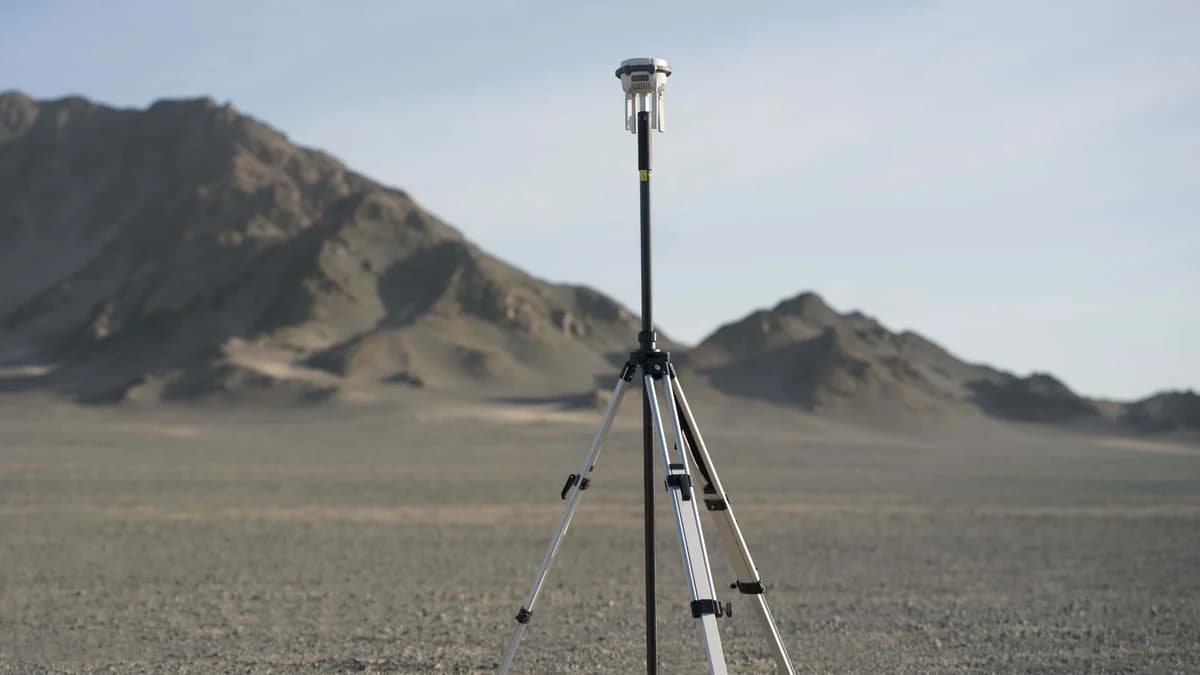
D-RTK 3 Multifunctional Station
Multifunctional GNSS station with high-performance antennas, multi-link transmission, centimeter-level positioning, relay mode, and rover mode.
View detailsNeed help choosing D-RTK 2 Mobile Station?
MIRS can help match the platform, payload, software, and deployment workflow to your Singapore operation.