DJI Software
DJI Terra
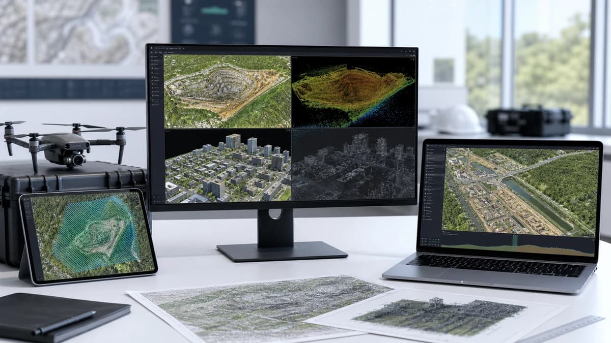
DJI 3D modeling and mapping software with next-generation reconstruction, 3D Gaussian Splatting, visible-light and LiDAR data processing.
Capability Snapshot
Outputs
2D / 3D
Supports maps, models, reconstruction, and survey deliverables.
Technology
3D Gaussian
Includes next-generation reconstruction technology for model workflows.
Data Sources
RGB + LiDAR
Processes visible-light imagery and DJI LiDAR data.
Workflow
Unified
Connects DJI data acquisition, processing, and application workflows.
Key Capabilities
2D and 3D reconstruction from DJI aerial data
Supports next-generation 3D Gaussian Splatting workflows
Processes visible-light imagery and DJI LiDAR data
Useful for surveying, construction, inspection, and geospatial deliverables
Provides a unified workflow with DJI drones and payloads
Typical Applications
Planning Notes
- Processing requirements depend on dataset size, reconstruction type, and output quality
- Capture settings, overlap, control points, and lighting strongly affect deliverables
- Plan storage, computing, QA, and export formats before project capture
- Confirm license, hardware, and payload compatibility for the intended workflow
Related Products
More DJI Software

DJI FlightHub 2
Cloud-based drone operations platform with remote control, intelligent scheduling, route management, third-party integration, and visual command oversight.
View details
DJI FlightHub 2 On-Premises
Secure local deployment of FlightHub 2 capabilities for organizations needing full data control, custom development, and rapid integration.
View details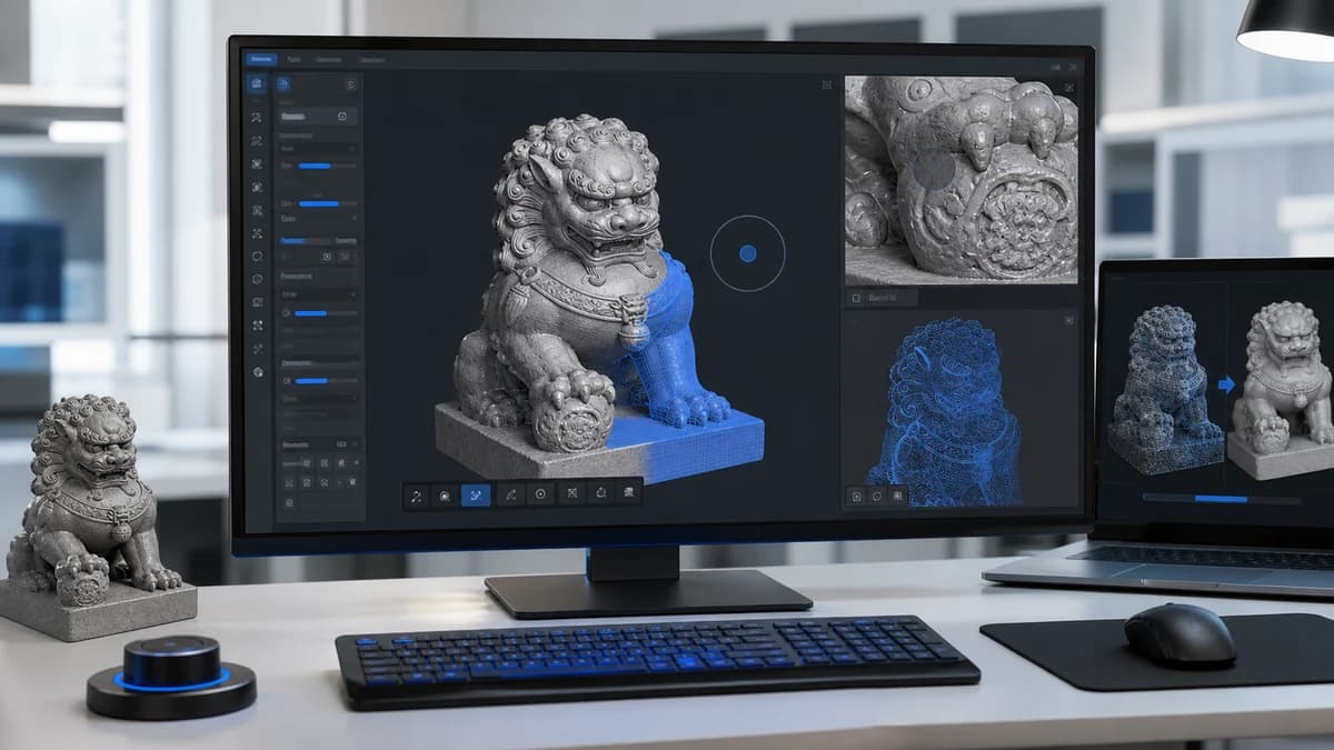
DJI Modify
DJI 3D model editing software for repairing, refining, and preparing reconstruction outputs for final delivery.
View detailsNeed help choosing DJI Terra?
MIRS can help match the platform, payload, software, and deployment workflow to your Singapore operation.