DJI Payload
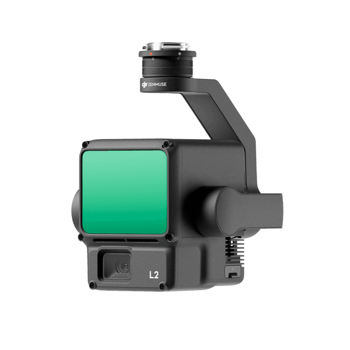
Zenmuse L2
Integrated LiDAR payload with frame-based LiDAR, high-accuracy IMU, and 4/3 CMOS RGB mapping camera for reliable geospatial acquisition.
Capability Snapshot
Sensor System
LiDAR + RGB
Combines LiDAR capture with a 4/3 CMOS RGB mapping camera.
IMU
High-accuracy
Supports reliable positioning and point cloud quality.
Workflow
DJI Terra
Provides a turnkey collection and post-processing route.
Deliverable
3D data
Designed for survey, terrain, and infrastructure outputs.
Key Capabilities
Frame-based LiDAR for 3D data collection
High-accuracy IMU improves data reliability
4/3 CMOS RGB mapping camera adds visual context
Pairs with DJI Terra for post-processing
Supports efficient geospatial acquisition from DJI flight platforms
Typical Applications
Planning Notes
- Plan ground control, calibration, flight altitude, and processing workflow
- Confirm aircraft compatibility and payload mounting requirements
- Use DJI Terra or equivalent processing workflow for deliverables
- Large point clouds require storage, QA, and computing preparation
Related Products
More DJI Payload
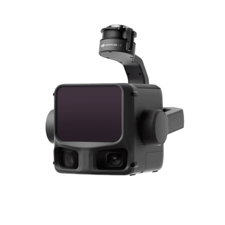
Zenmuse L3
Next-generation high-accuracy aerial LiDAR with 1535nm long-range sensing, dual 100MP RGB mapping cameras, and high-precision POS.
View details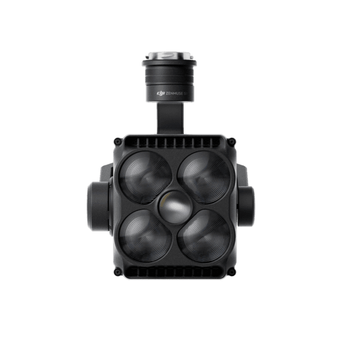
Zenmuse S1
DJI spotlight payload using LEP technology for high brightness, long illumination distance, and multiple lighting modes.
View details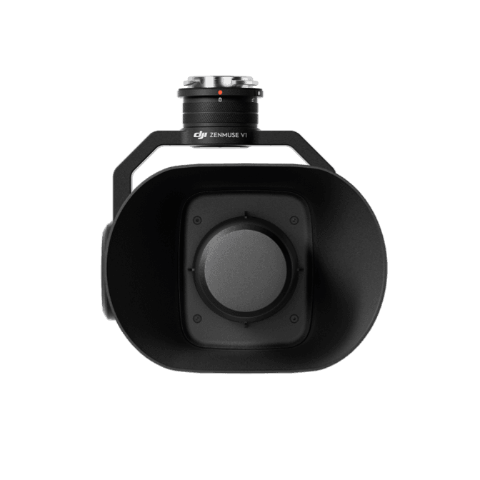
Zenmuse V1
DJI speaker payload with high volume, long broadcast distance, and multiple broadcast modes for public safety and rescue operations.
View detailsNeed help choosing Zenmuse L2?
MIRS can help match the platform, payload, software, and deployment workflow to your Singapore operation.