01
Construction Site Mapping
A 3D model helps visualise the dimensions of an object or building, providing a clearer perception of size and depth for project showcase, presentations, and interactive web design.
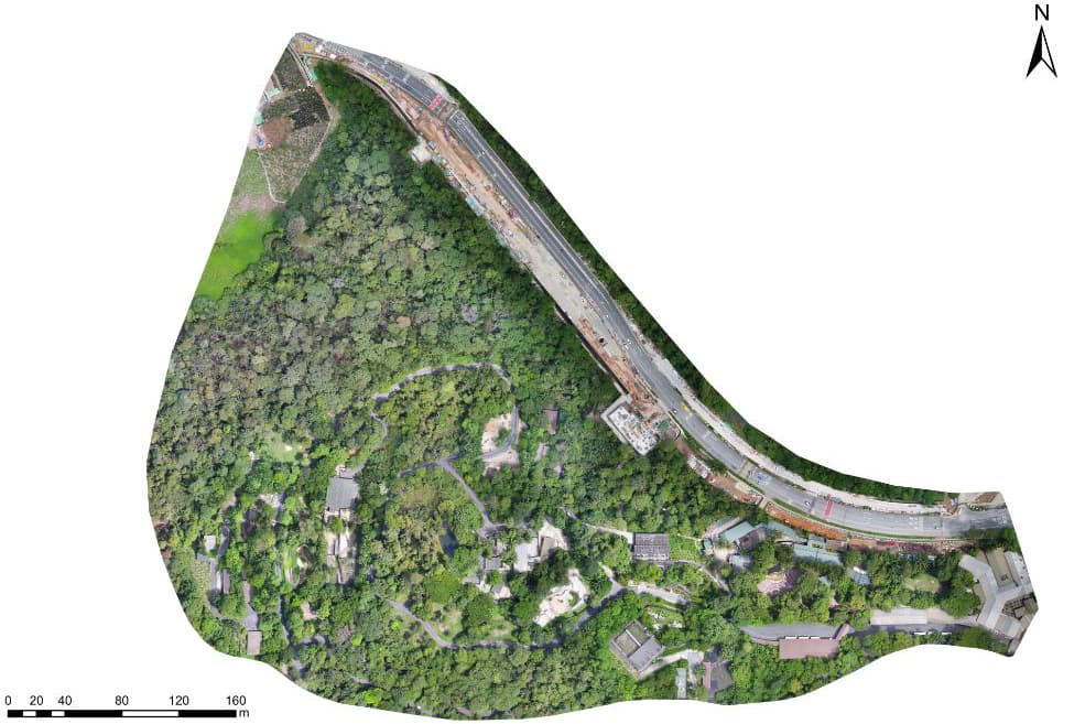
Drone Services
Capture precise 2D maps and 3D models of sites using drone imagery and RTK workflows for planning, measurement, and documentation.
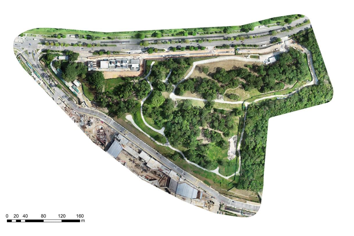
MIRS Drone Service
Visual data capture, inspection support, and professional drone operations for practical site requirements.
Survey planning
Share the site location, approximate area, required output, accuracy expectations, coordinate system, access conditions, and schedule. MIRS Innovate will review the survey scope and flight requirements.
Service Overview
Drone 2D and 3D mapping enables clients to acquire precise and detailed images or models of sites of interest. These outputs support strategy development, workflow improvement, efficiency, and cost reduction.
Capabilities
A 3D model helps visualise the dimensions of an object or building, providing a clearer perception of size and depth for project showcase, presentations, and interactive web design.
Drone volume calculation supports accurate measurement of stockpiles. RTK drone imagery can provide precise latitude and longitude coordinates, then specialist software creates a point cloud for measurement.
Mapping deliverables can include Digital Orthophoto Map, Digital Terrain Model, and Digital Surface Model outputs.
Service Videos
Watch selected MIRS project and service videos.
Visual References
Selected project and service images from the MIRS image library.
Clients
MIRS has supported government, corporate, education, construction, and event clients across different drone service requirements.





Feedback
Comments from clients who value clear planning, safe operations, and usable deliverables.
FAQ
Please share the site address, preferred date, service objective, access constraints, and any required deliverables. MIRS will review the scope and recommend the suitable drone workflow.
Yes. Flight planning, photo angles, video format, inspection focus, reporting structure, and delivery timeline can be adjusted according to the site conditions and client requirements.
Yes. Depending on the service, MIRS can provide selected photos, raw footage, edited videos, visual references, project documentation, or inspection media for stakeholder review.
Use the contact form or WhatsApp enquiry button with your site details and intended scope. The team will follow up with the recommended approach and quotation.
Share your site requirement and the team will recommend the right service scope and delivery approach.